This auction is live!

You need to be registered and approved to bid at this auction.

Watch the auction
This auction is closed!

It is no longer possible to bid at this auction.

You are registered for this auction

You are now approved to bid at this auction.

Your auction registration is now pending

You have successfully registered for this auction, pending approval to bid. Please check your email for further information.

Your auction registration has been declined

Please contact the auctioneer for more information.

Books, Prints and Maps Sale
Live
Venue address
The Auction Rooms
Dowell Street
Honiton, Devon
EX14 1LX
United Kingdom

Multi-location - see lot details

Books, Prints and Maps Sale

Auction dates
20 Feb 2013 10:30 GMT
Viewing dates
16 Feb 2013 09:00 - 00:00 GMT
18 Feb 2013 09:00 - 17:15 GMT
19 Feb 2013 09:00 - 17:15 GMT
Auction currency
GBP
Accepted cards
We found 400 items matching your search
Primary Category
Category
Item Type
Sale Section
Sorted by
PRINCESS OF WALES & PRINCE CHARLES: A signed thank you letter from Charles and Diana:, a
420 GBP
100 - 200 GBP
Estimate
THORN, William: single folio sheet in manuscript titled `Inundation`. Describing freak weather
45 GBP
50 - 70 GBP
Estimate
`THE VISITS OF CONSTANCE`: 3 volumes of scrap albums, crammed full of original watercolours (many
800 GBP
500 - 750 GBP
Estimate
ATLAS: The Comprehensive Atlas & Geography of the World: 67 coloured maps, org. full brown
40 GBP
60 - 100 GBP
Estimate
BLAEU, Jan: Darbiensis Comitatus: hand coloured map, 495 x 380mm, Latin text, framed & double-
150 GBP
150 - 250 GBP
Estimate
BLAEU, G: Zeelandia Comitatus: hand coloured map, 495 x 380 mm, vertical creasing near centre
85 GBP
80 - 120 GBP
Estimate
BLAEU, Jan: Wallia Principatus vulgo Wales: hand coloured map, 495 x 385 mm, light vertical creasing
380 GBP
200 - 300 GBP
Estimate
COLLINS, Greenville: Dartmouth: hand coloured map, 565 x 455 mm, worming in the upper margin, framed
190 GBP
100 - 160 GBP
Estimate
COLLINS, Greenville: [ Torbay ]. Hand coloured map, 570 x 450 mm, framed & glazed, 1693[or later].
170 GBP
100 - 160 GBP
Estimate
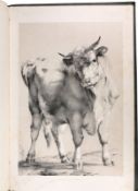
COOPER, T.S: Groups of Cattle drawn from nature: tinted vignette title-page, 20 of 24 tinted
0 GBP
600 - 1,000 GBP
Estimate
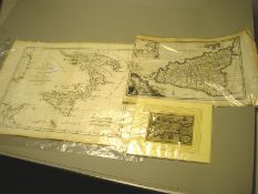
CYPRUS: hand coloured map by Abraham Ortelius (or heirs), 150 x 78 mm, mounted, late 16th cent ?
250 GBP
60 - 100 GBP
Estimate
ENGLISH COUNTY MAPS: Morden: Northumberland (small), Durham (small). Owen & Bowen: Merioneth,
0 GBP
100 - 150 GBP
Estimate
ENGLISH COUNTY MAPS: Moule: Environs of London, Boston, Shropshire, Lincolnshire, Surrey,
55 GBP
70 - 100 GBP
Estimate
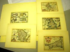
ENGLISH COUNTY MAPS: Keere, Pieter van den: Buckinghamshire, England, Cornwall, Islands, early
155 GBP
60 - 100 GBP
Estimate
GOOS, Pieter: De Custen Van Engelant tusschen de twee pointen van Poortlandt en Lizard: uncoloured
100 GBP
60 - 100 GBP
Estimate
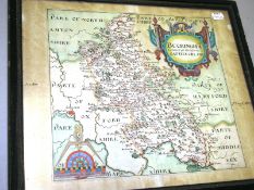
HOLE, William/SAXTON, Christopher: Buckingham Comitatus: hand coloured map, 290 X 275mm, inscription
0 GBP
100 - 150 GBP
Estimate
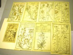
IRELAND ROAD MAPS: 7 hand coloured (on both sides) strip road maps, 210 x 115 mm, 1778. With one
35 GBP
30 - 50 GBP
Estimate
JOHNSTON, Alexander Keith: The Royal Atlas of Modern Geography: 48 maps colour printed in outline,
80 GBP
100 - 180 GBP
Estimate
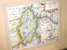
KIP, William/ SAXTON, Christopher: Notingamiae Comitatus: hand coloured map, 315 x 260mm, framed &
80 GBP
80 - 120 GBP
Estimate
KITCHEN, Thomas: A New Improved Map of Oxfordshire from the best surveys and intelligences: hand
90 GBP
100 - 180 GBP
Estimate
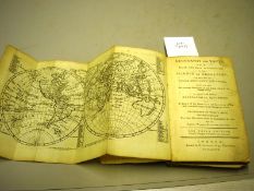
MAPS: ... Geography for Youth, or, a plain and easy introduction to the Science of Geography:
55 GBP
50 - 100 GBP
Estimate
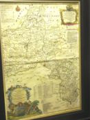
A New and Accurate Map of The County of Cornwall from an Actual Survey made by Thomas Martyn [late
340 GBP
100 - 200 GBP
Estimate
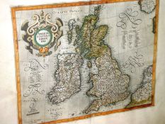
MERCATOR, Gerald: Anglia, Scotia et Hibernia: hand coloured map, 410 x 325 mm, probably early
170 GBP
60 - 100 GBP
Estimate
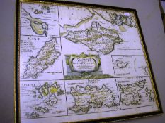
MORDEN, Robert: The Smaller Islands in the British Ocean: 420 x 360mm, framed & glazed, not laid
75 GBP
40 - 80 GBP
Estimate
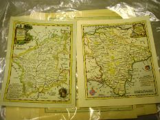
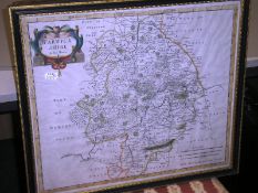
MORDEN, Robert: Warwickshire: hand coloured map, 420 x 360 mm, framed & glazed, c1695.
25 GBP
30 - 60 GBP
Estimate
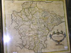
MORDEN, Robert: Devonshire: hand coloured map, 415 x 360mm, framed & glazed, c1695.
75 GBP
30 - 60 GBP
Estimate
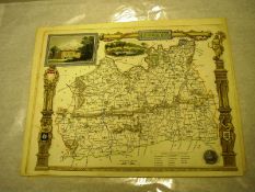
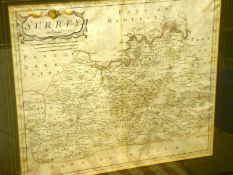
MORDEN, Robert: Surrey: (faintly) hand coloured map, 415 x 355 mm, light foxing, (not laid down),
95 GBP
50 - 80 GBP
Estimate
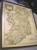
MORDEN, Robert: The Kingdom of Ireland: engraved map hand coloured in outline, 420 x 340 mm,
85 GBP
50 - 100 GBP
Estimate
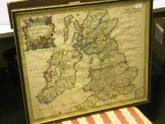
MORDEN, Robert: Britannia Romana: hand coloured map, 355 x 425 mm, framed & glazed. With ... Morden,
45 GBP
40 - 60 GBP
Estimate
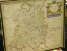
MORDEN, Robert. Shropshire: hand coloured map, 420 x 360 mm, framed & glazed, c1695. * please
45 GBP
40 - 60 GBP
Estimate
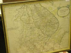
MORDEN, Robert: Lincolnshire: hand coloured map, 420 x 355 mm, framed & glazed, c1695.(incs. main
0 GBP
40 - 60 GBP
Estimate
Three Ogilby road maps: Cornwall and North Devon, in card mounts. (3)
50 GBP
50 - 70 GBP
Estimate
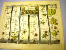
OGILBY, John: The Road from Monmouth to Llanbeder: hand coloured strip road map, 435 x 340 mm (plate
0 GBP
100 - 150 GBP
Estimate
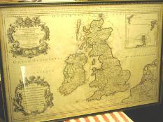
SANSON D`ABBEVILLE, Nicolas: Les Isles Britanniques: hand coloured map in outline, 885 x 555mm,
90 GBP
60 - 100 GBP
Estimate
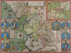
LANCASHIRE: Speed, John : The Countie Pallatine of Lancaster Described and Divided into Hundreds
240 GBP
250 - 450 GBP
Estimate
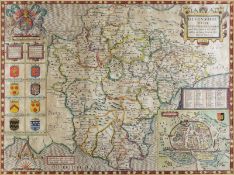
SPEED, John: Devonshire with Excester Described : hand coloured map, 510 x 375 mm, published by John
340 GBP
250 - 350 GBP
Estimate
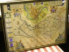
SPEED, John: The Countye Palatine of Chester: hand coloured map, 500 x 380 mm, light creasing, short
290 GBP
250 - 350 GBP
Estimate
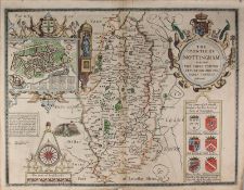
SPEED, John. The Countie of Nottingham: hand coloured map, 510 x 385 mm, Sudbury & Humble, (
220 GBP
250 - 350 GBP
Estimate
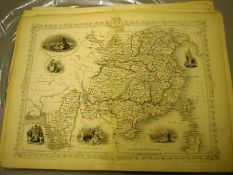
TALLIS/RAPKIN: a collection 45 maps with vignette views, some partially hand coloured, incs.
950 GBP
200 - 400 GBP
Estimate
TUNISON, Henry Cuthbert: Tunison`s Atlas ...of our Universe, Globe and Nation: 100 coloured maps,
0 GBP
80 - 150 GBP
Estimate