This auction is live!
You need to be registered and approved to bid at this auction.
Watch the auctionMulti-location - see lot details
|
Auction currency
|
GBP |
|
Accepted cards
|
Confirming your bid is a legally binding obligation to purchase and pay for the lot should your bid be successful.
Confirming your bid is a legally binding obligation to purchase and pay for the lot should your bid be successful.


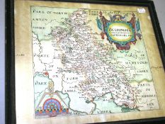
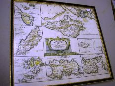
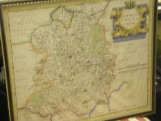
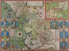
![COLLINS, Greenville: [ Torbay ]. Hand coloured map, 570 x 450 mm, framed & glazed, 1693[or later].](https://portal-images.azureedge.net/auctions-2013/bearne10028/images/a41993e7-f2c6-47fe-a9f8-a45700399425.jpg?h=175)